Fantasy Concept Map
An original world map your readers can actually navigate by
Turns your AI into a fantasy cartographer that sketches an original world map with regions, landmarks, routes, and a legend, built from your world's own rules.
Install it in 3 steps
No sign-up. No CLI tools. Pick your AI, copy one line, paste it over.
Prefer doing it yourself? Buy the skill ($4.99), download the ZIP from your checkout confirmation, unzip it into the directory shown above, restart your AI session — same result. Already bought it? Your AI assistant can download it for you.
What’s inside
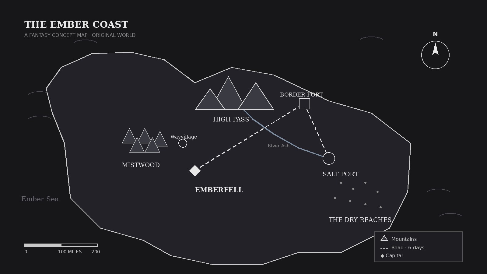
One SKILL.md (the playbook) + one starter template. A preview:
Fantasy Concept Map
When to use
- You are writing a novel or running a tabletop campaign and need a map your readers or players can actually navigate by
- A game pitch needs a world map that shows regions, factions, and travel routes at a glance
- You are worldbuilding and want to test whether your geography makes sense: where are the mountains, why is the city there
- A classroom or workshop needs a fictional map for a geography, storytelling, or game-design exercise
- Your story's characters keep traveling impossible distances — you need a map with a scale to keep journeys honest
Workflow
- Set the world's rules (input: story or game premise → output: world brief)
Write down what the map must show: the land's shape and size, who lives where, what the climate does, and any rule that bends geography (floating islands, a sea that freezes). One page of rules is enough. Every later decision — mountains, rivers, roads — must follow from this brief, not from decoration. - Sketch the landmass (input: world brief → output: rough coastline)
Draw the coastline first, in broad shapes: one or two continents or an archipelago, plus the seas between them. Keep it rough — the coastline is a sketch, not a satellite photo. Decide the map's scale now (for example, one inch = 100 miles) so travel times stay consistent later. - Place terrain, then settlements (input: coastline → output: terrain + settlements)
Terrain first: mountain ranges where plates would collide, forests where rain would fall, deserts in rain shadows. Settlements follow the terrain — cities at river mouths and crossroads, villages near farmland, outposts at passes. A city in the middle of a desert with no water source needs an explanation in the brief, or it moves. - Draw routes and landmarks (input: terrain + settlements → output: finished geography)
Connect settlements with roads, sea lanes, and any special routes (portal paths, airship lanes) the world uses. Add landmarks that matter to the story: ruins, towers, border walls, battlefields. Every route needs a reason — a road exists because people travel it — and a rough travel time in the legend. - Add the legend and consistency pass (input: finished geography → output: approved map)
Build a legend for every symbol on the map, a compass rose, and a scale bar. Then audit the map against the brief: do rivers run downhill to the sea? Does every region have a name? Can a reader trace a journey from A to B without teleporting? Fix the geography that breaks the rules before calling it done.
Output spec
Template preview
Fantasy Concept Map — Template
Build the map from the brief, not from decoration. One map = one world, one scale.
World brief (one paragraph)
{What the world is, who lives there, what bends its geography — e.g. floating islands, a sea that freezes in winter}
Landmass: {one continent / two continents / archipelago} Scale: {e.g. 1 inch = 100 miles} | Climate rule: {e.g. wet west coast, dry interior}
Regions
Settlements (each placed for a stated reason)
Routes & landmarks
Legend (every symbol on the map)
- {Symbol} = {meaning}
- {Symbol} = {meaning}
- {Symbol} = {meaning}
Compass rose: [ ] | Scale bar: [ ]